


Nova Scotia is preparing for a major winter storm that will bring a complex mix of snow, rain, and strong wind across much of the province over the next 48 hours.
Meteorologist Ian Hubbard with Environment Canada says the system is already being tracked closely, with special weather statements currently in effect province-wide — statements that are likely to be upgraded to formal warnings by tonight or early tomorrow as the system intensifies.
“We’re definitely going to get snow, rain and maybe even a little wind with this system,” Hubbard said. He explained that precipitation will begin in the western parts of the province during the day Tuesday, spreading eastward through central Nova Scotia by late afternoon and into Cape Breton by evening.
Here’s what to expect, region by region:
- Inland and elevated areas — including the Annapolis Valley, Colchester, Cumberland, western Cape Breton and the Highlands — are likely to see significant snowfall, with 15–20 cm or more, especially at higher elevations.
- Coastal and southern regions — such as Halifax, the Atlantic-coast communities, and southern Cape Breton — are expected to see rain, possibly heavy at times. Along some Atlantic-facing shores, rainfall totals could reach 30–50 mm.
- Transitional zones — the central belt of the province may experience a mix of snow and rain, depending on temperature and local conditions. Some snow that falls may not accumulate if followed by rain.
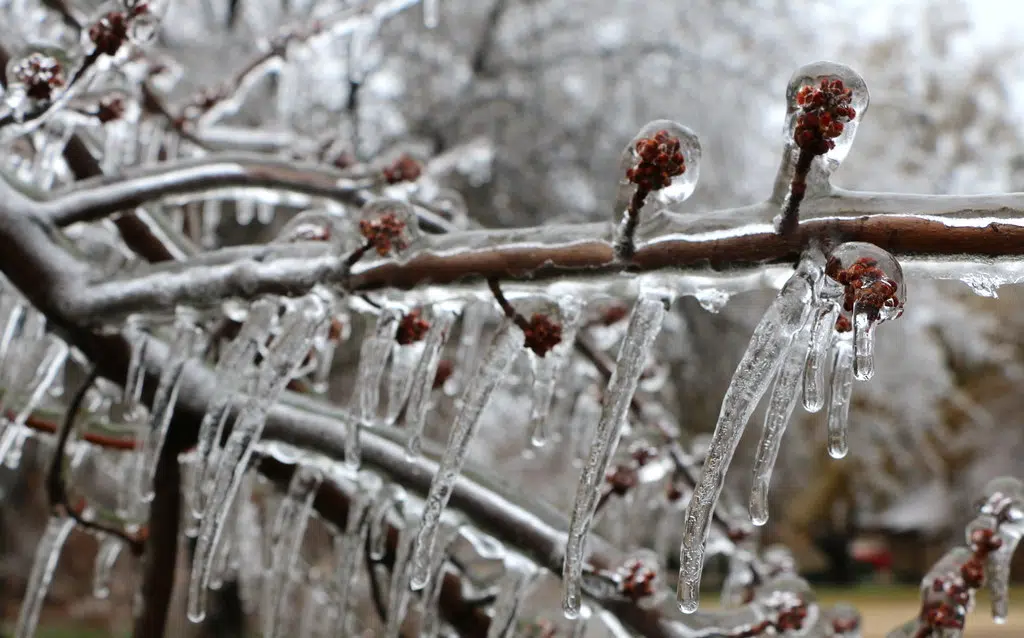
Hubbard warned that the forecast remains tricky: the heavy, wet nature of the snow and close-to-freezing coastal temperatures make the rain-snow line unpredictable.
Strong northeast winds are also expected, especially along coastal sections, increasing the risk for poor visibility, hazardous travel, power outages and possible damage to trees and utility lines.
After the storm system moves out, conditions should begin to improve midday Wednesday, starting in the southwest before spreading across the mainland and reaching Cape Breton by late afternoon.